Neighborhood Planning in Norman
Neighborhood—\nā-bər-'hūd\ n. A geographic location with a population and distinguishing physical features. It is a place where people live, work, shop and play. Neighborhoods are the building blocks of cities.
Program Origins
The Norman 2025 Land Use and Transportation Plan, drafted in 2004, recommended the establishment of a neighborhood planning program with a dedicated staff person. The 2025 Plan recommended a program designed to “engage neighborhoods in Norman’s Core Area in a participatory planning process to directly address such issues as land use compatibility, parking, circulation, and neighborhood improvements.” The 2025 Plan also recommended that “The Planning Commission and City Council would adopt each of the neighborhood plans as an element of the City’s Comprehensive Plan.”
Program Area
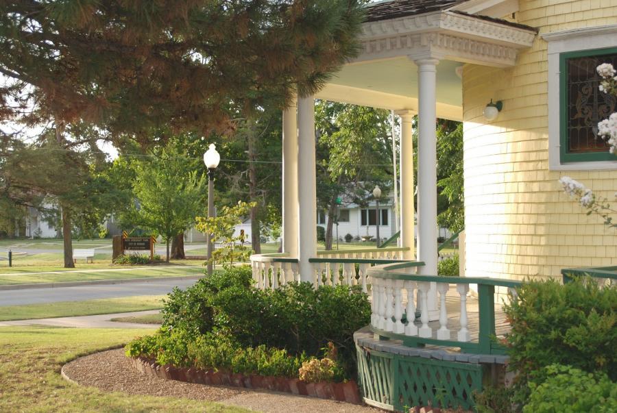
The Neighborhood Planning Program targets Norman’s Core Area which is bounded roughly by Robinson Street on the north; 12th Avenue E on the east; Imhoff Road on the south, and Berry Road on the west. The Core Area contains around sixteen neighborhoods.
Program Goals
- Develop a strong sense of community connectedness
- Get neighbors acquainted and willing to trust each other
- Identify neighborhood assets and make plans for their protection
- Help neighbors take direct control over the future of their community
- Connect neighbors with their elected officials
“Planning is an act of community participation and an expression of belief in its future.” -excerpt from Planning to Stay
Neighborhood Planning Process
Neighborhood planning is a process by which residents gather to identify assets and agree on priorities for neighborhood improvement, and to devise strategies to achieve their goals. During these conversations, neighbors ask themselves “what is working well in our neighborhood that we want to protect?” and “what is not up to our standards and how can we improve it?” They ask themselves “what is it about this place that draws us here and what will keep us here in the future?
Neighborhood planning literally begins with a walk around the block to assess and document physical and environmental conditions. City planners then meet with neighbors to identify social conditions and neighborhood assets. By articulating goals to protect the physical and social environment, planners help neighbors develop a plan that will protect existing neighborhood assets and help residents manage change.
Ideally, neighborhood plans should be updated every five-to-ten years.
“Neighborhood planning is primarily a process to learn about where you live...how to shape it for the better...and how to sustain it for the long term.” -excerpt from Planning to Stay
Neighborhood Plans
Original Townsite
Original Townsite Neighborhood Plan
At the neighborhood meeting held April 10, 2012 at Community Missionary Baptist Church, participants voted to recommend adoption of the Neighborhood Plan based on a summary presented. This vote authorized City staff to complete the plan – which is an expansion of the principles discussed and approved at the meeting - and submit it to the Norman Planning Commission for consideration at the June 14 meeting. (6:30 PM, City Council Chambers, 201 W Gray Street.)
On June 14, the Planning Commission considered whether to recommend to the Norman City Council the adoption of the Original Townsite Neighborhood Plan as an element of the Norman 2025 Land Use and Transportation Plan. City Council has previously adopted four Core Area neighborhood plans.
Old Silk Stocking
Old Silk Stocking Neighborhood Plan
The Old Silk Stocking Neighborhood Plan is the final draft of an update and expansion of the neighborhood’s 1990 Plan. Old Silk Stocking Neighborhood residents reviewed the contents of the plan during February and March, 2011. At a neighborhood meeting held April 7, 2011 the neighborhood recommended that the plan be adopted into the City’s Comprehensive Plan. The Norman Planning Commission voted unanimously on May 12, 2011 to recommend to City Council the adoption of the neighborhood plan in the City’s Comprehensive Plan. Note: Illustrative maps are found at the end of the plan document with map number references embedded in the text.
First Courthouse Neighborhood Plan
First Courthouse Neighborhood Plan
The First Courthouse Neighborhood Plan is the final draft of an update and expansion of the neighborhood’s 1990 Plan. Old Silk Stocking Neighborhood residents reviewed the contents of the plan during February and March, 2011. At a neighborhood meeting held March 9, 2011 participating neighborhood residents recommended the plan be adopted into the City’s Comprehensive Plan. The Norman Planning Commission voted unanimously on May 12, 2011 to recommend to City Council the adoption of the neighborhood plan in the City’s Comprehensive Plan. Note: Illustrative maps are found at the end of the plan document with map number references embedded in the text.
Lions Park Neighborhood Plan
The Lions Park Neighborhood Plan was adopted by the Norman City Council on April 10, 2007. In addition to guiding future neighborhood improvements, the Lions Park Plan will also be incorporated into the Norman 2025 Plan for Land Use and Transportation.
Guiding Principles of the Lions Park Neighborhood Plan:
- Maintain Lions Park Neighborhood’s existing land use patterns.
- Protect the neighborhood character and sense of place.
- Strengthen neighborhood connections by restarting a Neighborhood Association.
- Improve neighborhood infrastructure as needed and as feasible to support the existing high quality of life in Lions Park.
Bishop Creek Neighborhood
Bishop Creek Neighborhood
At the neighborhood meeting held on April 11, 2012 at Lincoln Elementary School library, participants voted to recommend adoption of the Neighborhood Plan based on a summary presented. This vote authorized City staff to complete the plan – which is an expansion of the principles discussed and approved at the meeting.
On June 14, the Planning Commission considered whether to recommend to the Norman City Council the adoption of the Bishop Creek Neighborhood Plan as an element of the Norman 2025 Land Use and Transportation Plan. City Council has previously adopted four Core Area neighborhood plans.
Frequently Asked Questions
Which Norman neighborhoods are eligible to participate in the neighborhood planning program?
There are roughly 16 neighborhoods inside Norman’s Core Area. In some cases, neighborhoods already have fairly defined boundaries and may even have an organized neighborhood association. In other cases, major streets define natural neighborhood boundaries, even where there is no formally declared neighborhood.
Are CDBG neighborhoods eligible for neighborhood planning?
Yes. Norman has five CDBG Neighborhoods: Old Silk Stocking, First Courthouse, University, Larsh-Miller, and Original Townsite. Every year these neighborhoods revisit neighborhood goals when they meet to select neighborhood projects to be undertaken with CDBG (Community Development Block Grant) funding. These neighborhoods also have formal plans dating from the early 1990s that will be updated in the Neighborhood Planning effort. Other neighborhoods: Andrews Park, Adams, and Faculty Heights Neighborhoods also have existing neighborhood plans that will be updated.
How do neighborhood plans get implemented?
The most effective way neighbors can ensure their plans are implemented is to organize and to stay in touch with elected officials and City staff. Neighborhood associations have a stronger voice than individuals and Through the planning process, neighbors identify a number of improvement projects. The scope of each project will determine how quickly that project can be implemented. Funding for City infrastructure comes from a variety of sources.
How can I get more information about neighborhood planning?
Call or email Anais Starr, City Planner, at 366-5392 or Anais.Starr@Normanok.gov for more information.