Welcome to the City of Norman's Mapping page. The GIS Services Division of the Planning and Community Development Department provides a variety mapping applications and data for use by all City of Norman departments and the public.
Mapping Applications and Resources
Interactive Map
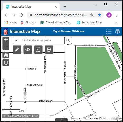
The map provides display and identify access to many of the City's GIS layers. The data are to be used for general reference only. All data are provided as is, with all faults, and without warranty of any kind, expressed or implied, including but not limited to, the implied purpose. The City of Norman does not warrant that the data will meet your requirements nor that operation of the data and/or application will be uninterrupted and error free. Maps and data generated using these applications may be e-mailed or printed, with the understanding that they will be used for general reference only, without any claims of completeness or accuracy.
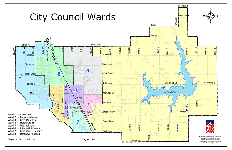
City Council Ward Map
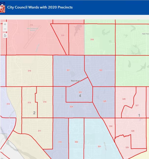
Interactive Map of City Council Wards. This map displays the wards as drawn in 2022 and precincts as drawn in 2022. Explore Ward Map
Find PDF's of ward maps here. City Wide Map, Ward 1, Ward 2, Ward 3, Ward 4, Ward 5, Ward 6, Ward 7, Ward 8
Construction Map
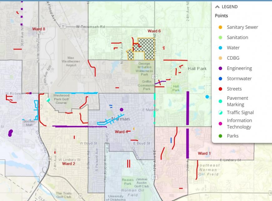
The City of Norman is investing in millions of dollars in infrastructure improvements to enhance the quality of life in our community, including projects to upgrade our roads, bridges, sidewalks, waterlines, sewerlines, stormwater drainage, and much more.
In order to help our residents stay informed about these projects and also be aware of any traffic-related issues, we have assembled this webpage summarizing the key projects and providing key contacts for additional questions. While not every infrastructure project is summarized here, we have attempted to provide details on those that may cause traffic delays or other disruptions to our residents. Please note, time estimates are approximate and subject to change. Please check back often, as this page will be updated frequently.
Open Data & Mapping

The City of Norman provides the Open Data and Mapping Site to allow citizens and employees explore mapping applications, access GIS data and in some cases download GIS data.
For accessibility assistance please contact the ADA Technician at 405-366-5424.